

Table of Contents
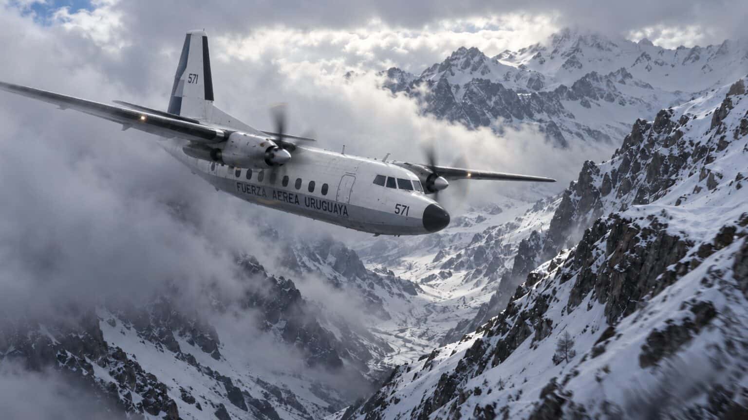
Fifty-four years ago today, a Uruguayan Air Force turboprop began its descent to Santiago while it was still deep inside the Andes. Sixteen of the 45 people aboard came home.
The Andes plane crash of October 13, 1972, began with a position report. Uruguayan Air Force Flight 571 told Santiago it was over Planchón Pass at 3:21 p.m. and over Curicó, its turning point, at 3:24 p.m. That leg normally takes about 11 minutes.
The crew turned north and descended into cloud while still roughly 37 to 43 miles (60 to 70 km) short of Curicó. Ten minutes later the Fairchild FH-227D hit a ridge at about 13,800 feet (4,200 m).
Of the 45 aboard, 29 died, in the crash or in the 72 days that followed. The film Society of the Snow tells the survival story. This is the story of the three minutes.
A U-Shaped Route Around the Highest Peaks
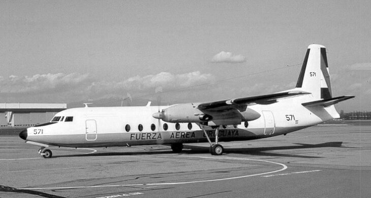
The aircraft was a chartered Fairchild FH-227D, tail number 571, carrying the Old Christians Club rugby team from Montevideo to a match in Santiago, Chile. A storm over the mountains forced an overnight stop in Mendoza, Argentina.
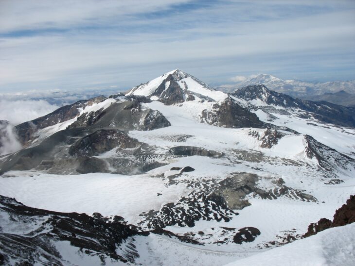
The direct line from Mendoza to Santiago is under 125 miles (200 km), but it had to be flown at 25,000 to 26,000 feet, close to the FH-227D’s 28,000-foot ceiling.
So turboprops flew a longer U-shaped route: south to the Malargüe beacon, west along airway G-17 over Planchón Pass, then north from the Curicó beacon in Chile down to Santiago.

Lieutenant Colonel Dante Héctor Lagurara was flying, still learning the route. Beside him was Colonel Julio César Ferradas, who had 5,117 flight hours and had crossed the Andes 29 times.
They left Mendoza at 2:18 p.m. on Friday, October 13. A solid cloud deck covered the route, so the crossing was flown on instruments, with no view of the ground.
At 3:21 p.m. Lagurara reported Planchón Pass and estimated Curicó one minute later. At 3:24 p.m. he reported Curicó, turned north, and asked to descend. Santiago had no radar coverage of the mountains, so the controller could only work from the crew’s own position report. He cleared them down to 11,500 feet (3,500 m).
Flight 571 by the Numbers
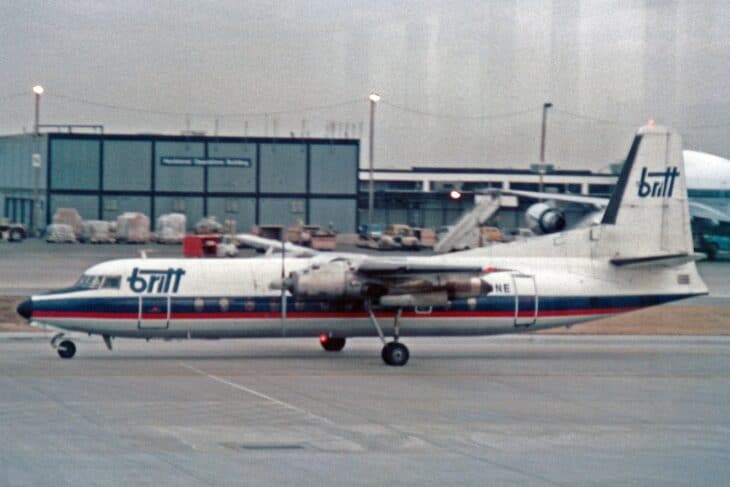
The FH-227D was a stretched, American-built version of the Fokker F27 Friendship, the Dutch turboprop later developed into the Fokker 50. Flight 571’s airframe was four years old and had flown just 792 hours.
.jpg)
Descending through turbulence, the aircraft broke out of the cloud with a black ridge directly ahead. The pilots applied full power and climbed, but the tail struck the ridge at about 13,800 feet (4,200 m). The right wing came off, and the tail cone tore away with two rows of seats.
The left wing hit rock at about 14,400 feet (4,400 m). The fuselage then slid 2,379 feet (725 m) down a glacier at an estimated 220 mph (350 km/h) before it stopped in a snowbank. The time was about 3:34 p.m.
The wreck lay at about 12,000 feet (3,700 m) in Argentina’s Mendoza Province, roughly 50 miles (80 km) east of the planned route. It had never reached Chile.
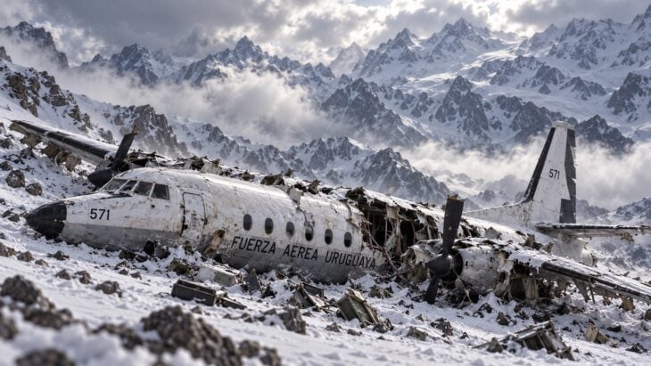
Ferradas died on impact. Thirty-three people survived the first afternoon, and five more, Lagurara among them, died that night or the next day. The air search was called off on October 21, after eight days, and an avalanche on October 29 killed eight more.
With no food on the glacier, the survivors ate the bodies of those who had died, a decision they reached together and have described openly ever since.
Only two of the 16 walked out
The story is often told as a group that walked out of the Andes. Two did. Nando Parrado and Roberto Canessa climbed out on December 12 and walked for 10 days to reach Chilean herder Sergio Catalán. The other 14 were lifted out by Chilean Air Force helicopters on December 22 and 23.
Headwind, Tailwind or a Bad Radio Reading
The investigation recorded the crash as a navigation error, a controlled flight into terrain caused by pilot error. Why an experienced crew believed it had reached Curicó is still argued over, and the popular answer may be the wrong one.
The most repeated explanation is dead reckoning: the crew timed the leg, failed to allow for a strong headwind, and assumed they had covered more ground than they had. Flight Safety Australia magazine told the story that way on the crash’s 45th anniversary.
The record does not fit that neatly. An account of the flight records published by Alpine Expeditions describes a 20 to 60 knot tailwind, strong enough that the crew slowed from 210 to 180 knots. With the wind behind them, a timing error would have put the crew behind their real position, not 8 minutes ahead of it.
A 2012 analysis by Claudio Caputti for the Argentine defense site Interdefensa made the sharper point. The crew was flying beacon to beacon on instruments, using the Curicó VOR and its distance-measuring equipment, which should have shown 37 to 43 miles still to go.
That ground station was working: about a dozen other flights used it on the same route that day without reporting a problem. Caputti concluded the cause was most likely a misread or faulty receiver on the aircraft itself. Without a public copy of the original report, neither version can be settled.
The Wrong Position Report Killed Twice
The error did not end at the impact. Before he died, Lagurara kept telling the survivors that they had passed Curicó. They believed it, and concluded that green Chilean valleys lay just over the ridge to the west.
The Chilean countryside was about 55 miles (89 km) away. When Parrado reached the top of the western ridge at 14,774 feet (4,503 m), he saw snow-covered peaks in every direction.
Help had been far closer the other way. The abandoned Hotel Termas el Sosneado sat about 12 miles (20 km) east of the wreck, and the Atuel River valley and its road lay about 16 miles (25 km) east.
A position report built for an airway had pointed a group of starving survivors toward the hardest route out of the mountains.
Flight 571 also belongs to a grim category. In the late 1960s, controlled flight into terrain was killing hundreds of people, and in 1974 the FAA required large turbine aircraft to carry a ground proximity warning system. How that rule came about is covered in our story on Eastern Air Lines Flight 401.
There is an older Andes echo too. In 1947 the British airliner Star Dust descended into the same mountains, its crew apparently unaware they were flying into a jet stream that had slowed them down.
Where the Andes Crash Stands Today
Of the 78 FH-227s built, 23 eventually crashed, and Flight 571 was the type’s tenth crash. The airway it was flying survives as B684, and most aircraft crossing it today carry satellite navigation and required navigation performance, not just a single beacon at Curicó.
The dead are buried near the wreck site in the Valley of Tears, under an iron cross. Hundreds of people a year make the three- to four-day trip there from El Sosneado, on the Argentine side, by four-wheel drive and then on horseback or on foot.
In Montevideo, the Museo Andes 1972 keeps letters, photographs and pieces of the fuselage. Netflix released Society of the Snow in January 2024, the third feature film about the crash after Survive! and the 1993 Alive.
Every version tells the 72 days. Very few stop at 3:24 p.m., when a crew over the clouds reported a beacon that was still 11 minutes away, and turned toward it.


Sources and references used for research and fact-checking.
- Wikipedia, Uruguayan Air Force Flight 571
- Interdefensa / Claudio Caputti, A 40 años del Milagro de los Andes (Accidente del FAU-571)
- Alpine Expeditions, The accident
- Flight Safety Australia, When dead reckoning became deadly: remembering the Andes air disaster
- AeroTime, Flight 571: How and why did the plane crash in the Andes?
- Aviacionline, La sociedad de la nieve: tragedia del Fokker 27 de la FAU en la Cordillera de los Andes
- HISTORY, Uruguayan Air Force Flight 571 crashes in the Andes
- Air & Space / Smithsonian Magazine, The Ghost of FAU 571
- Wikipedia, Fokker 50
- Wikipedia, Ground proximity warning system
Get the Newsletter
The latest aviation news and stories sent to your inbox.
About the Author
Tim is the owner and lead editor of AeroCorner since 2019, overseeing aviation content covering aircraft, airlines, airports, and the broader aviation industry. Through years of researching, writing, editing, and publishing aviation-focused content, he has developed extensive practical knowledge of commercial aviation and air travel. Based in Asia and a frequent traveler himself, Tim also brings firsthand passenger experience to AeroCorner’s coverage. Outside of publishing, he has also explored aviation firsthand through hands-on flight training in New Zealand.