

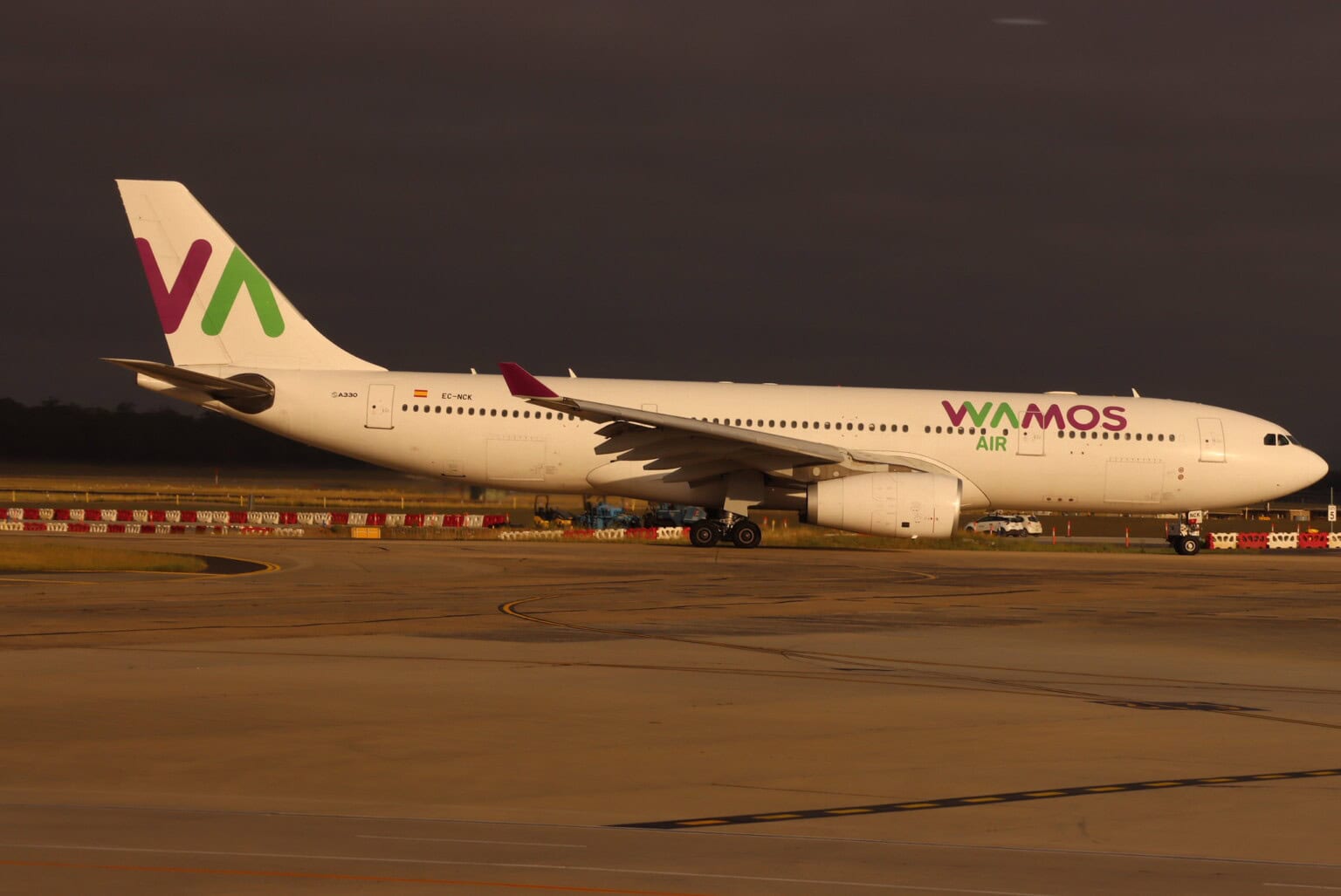
France’s BEA has opened an investigation into an Airbus A330 that flew significantly off its published approach to La Réunion’s Roland Garros Airport on September 3, 2026. The jet descended toward 1,000 feet before an air traffic controller ordered the crew to climb immediately.
The A330-200, registered EC-ORP, belongs to Spanish carrier Wamos Air and was operating French Bee flight BF5700 from Paris Orly, according to The Aviation Herald. The BEA says no one was hurt and the aircraft was not damaged.
Réunion’s Le Quotidien, which reported the investigation on September 12, noted that it came two weeks after another Paris flight into the island ran into similar trouble.
What the BEA says happened
The trouble began in cruise, when the crew experienced interference with the aircraft’s GNSS, the satellite navigation system that includes GPS. The pilots chose not to rely on it for the arrival and flew a conventional procedure based on the Roland Garros VOR, a ground radio beacon, instead.
The crew reported their position to air traffic control during the arrival. As the descent began, the controller detected a significant deviation from the published trajectory, in the words of the BEA’s French-language notice.
The aircraft kept descending below 3,000 feet. As it neared 1,000 feet, the controller ordered an immediate climb, and the crew complied.
According to the same Aviation Herald report, the A330 climbed back to 3,000 feet and set up for another approach, this time to runway 14, about 20 minutes later.
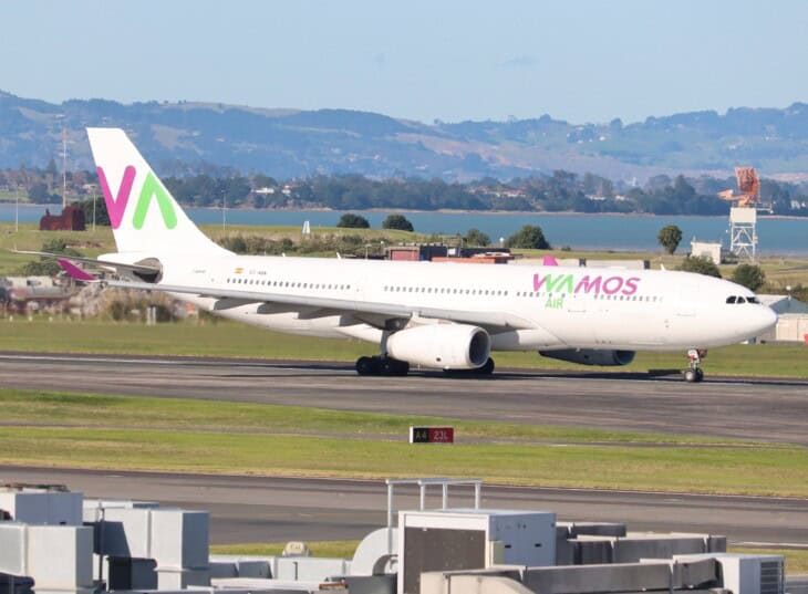
The BEA has not said what altitude the aircraft should have been at when the controller stepped in. Roland Garros sits only 66 feet above sea level, but Réunion is a volcanic island just 39 miles (63 km) long that climbs to 10,070 feet (3,070 m) at Piton des Neiges.
The BEA filed the event as an incident under two occurrence categories. One covers system or component failures outside the engines. The other is CFIT, controlled flight into terrain, which describes an aircraft under its crew’s control on a path that could end in the ground.
That label does not mean the jet nearly crashed. It records the type of risk the investigators will examine.
Why losing satellite navigation matters on approach
In EASA’s definitions, jamming stops an aircraft’s receivers from locking onto satellite signals, while spoofing feeds them counterfeit signals that produce a false position. EASA’s current bulletin, revision 4 of Safety Information Bulletin 2022-02, issued on July 3, 2026, reports a notable rise in both since February 2022, particularly around conflict zones.
The guidance asks crews to cross-check their position by non-GNSS means and asks operators to keep conventional procedures available, built on ground beacons such as VOR, DME and ILS. That is the fallback the Wamos crew used.
The fallback is less forgiving. A VOR approach is a non-precision approach: the beacon gives lateral guidance along the approach track but no vertical guidance, so the crew manages the descent against distance or timing, often through a series of step-down altitudes.
According to SKYbrary, most CFIT accidents happen during approach and landing and are often associated with non-precision approaches. Lost awareness in the vertical plane, particularly on approaches that step down in altitude, is a recurring factor.
The second Réunion case in two weeks
On August 19, French Bee flight BF702, an A350-1000 registered F-HMIX, lost GNSS leaving Paris and then met interference at 38,000 feet over the Red Sea, The Aviation Herald reported.
On the descent into Réunion, that crew found inconsistent readings from DME, the equipment that measures distance to a ground beacon. They continued visually and landed safely, and the BEA is investigating that event too.
Interference is not only an overseas problem. In the US, a fatal medevac crash in New Mexico has lawmakers demanding answers about military GPS jamming.
What the BEA has not said yet
The BEA has not published where the interference came from, what altitude the A330 should have been at when the controller intervened, or why it left the published track while flying a procedure that does not depend on satellites. The investigation is ongoing, and BEA investigations aim to improve safety, not to assign blame.
Sources and references used for research and fact-checking.
Get the Newsletter
The latest aviation news and stories sent to your inbox.
About the Author
Tim is the owner and lead editor of AeroCorner since 2019, overseeing aviation content covering aircraft, airlines, airports, and the broader aviation industry. Through years of researching, writing, editing, and publishing aviation-focused content, he has developed extensive practical knowledge of commercial aviation and air travel. Based in Asia and a frequent traveler himself, Tim also brings firsthand passenger experience to AeroCorner’s coverage. Outside of publishing, he has also explored aviation firsthand through hands-on flight training in New Zealand.