

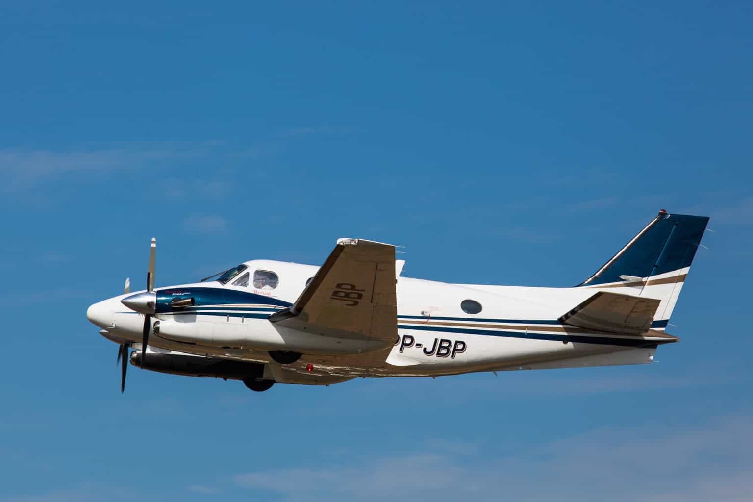
On August 5, 2026, New Mexico’s full congressional delegation sent a letter to Defense Secretary Pete Hegseth demanding answers about a military GPS-jamming exercise the NTSB says was active when an air ambulance struck a mountain range in May, killing all four people aboard.
What happened in the Capitan Mountains
According to the National Transportation Safety Board’s preliminary report, a Beechcraft King Air C90, registration N249CP, departed Roswell Air Center just before midnight on May 13, 2026, on a positioning flight to Sierra Blanca Regional Airport near Ruidoso to pick up a patient bound for Albuquerque.
The aircraft was operated by Generations Jets under Part 135 as an air ambulance flight; the two flight nurses aboard worked for Trans Aero Medical Services. About eight minutes after takeoff, the crew told air traffic control they had lost GPS capability and needed a heading.
Air traffic controllers got the military to briefly pause a scheduled GPS-jamming exercise, but it resumed about five minutes before the crash, shortly after the crew reported the airport in sight and was cleared for a visual approach in the dark. The airplane struck terrain at 9,950 feet, about 730 feet east and 230 feet below the Capitan Mountains’ 10,180-foot summit.
All four aboard, both pilots and both flight nurses, were killed. A post-impact fire grew into what became known as the Seven Cabins Fire, which burned more than 30,000 acres and cost an estimated $37.7 million to fight, according to the lawmakers’ letter.
A live jamming exercise, in real time
The interference came from NAVFEST, an annual U.S. Air Force electronic-warfare exercise at White Sands Missile Range that tests military GPS jamming and was published by NOTAM before the flight. The NTSB’s report notes that three other aircraft in the area also reported losing GPS that same night.
Coordination between air traffic control and the range happened by phone, in real time, while controllers were also vectoring the crew around the dark, mountainous terrain. A supervisor asked the range to stop jamming twice; the second pause ended once the crew reported the airport in sight.
Not the only aircraft affected
The NTSB’s preliminary report says three other aircraft in the area also reported losing GPS the same night, one of them needing extra help from controllers to identify a ground-based navigation aid.
No instrument approach, either
Sierra Blanca’s automated weather system was also out of service that night. Its published instrument approaches require a current altimeter setting to fly, so neither was technically authorized, leaving the crew a visual approach as their only option.
Congress wants answers, and possibly reimbursement
The letter, signed by Senators Martin Heinrich and Ben Ray Luján and Representatives Gabe Vasquez, Teresa Leger Fernández, and Melanie Stansbury, was first reported by Source New Mexico. It asks whether the Pentagon will compensate the victims’ families and reimburse the federal, state, and local agencies that fought the wildfire.
If the DoD had not been jamming GPS in the region at the time of this crash, it is very likely that the crash would have never occurred, four people would still be alive, and this wildfire would not have started.
The lawmakers also want the Pentagon to cooperate fully with the NTSB’s investigation and to work with the FAA on protocols to prevent a repeat. The NTSB has not determined a probable cause, and a final report is not expected until 2027.
Sources and references used for research and fact-checking.
Get the Newsletter
The latest aviation news and stories sent to your inbox.
About the Author
Tim is the owner and lead editor of AeroCorner since 2019, overseeing aviation content covering aircraft, airlines, airports, and the broader aviation industry. Through years of researching, writing, editing, and publishing aviation-focused content, he has developed extensive practical knowledge of commercial aviation and air travel. Based in Asia and a frequent traveler himself, Tim also brings firsthand passenger experience to AeroCorner’s coverage. Outside of publishing, he has also explored aviation firsthand through hands-on flight training in New Zealand.