

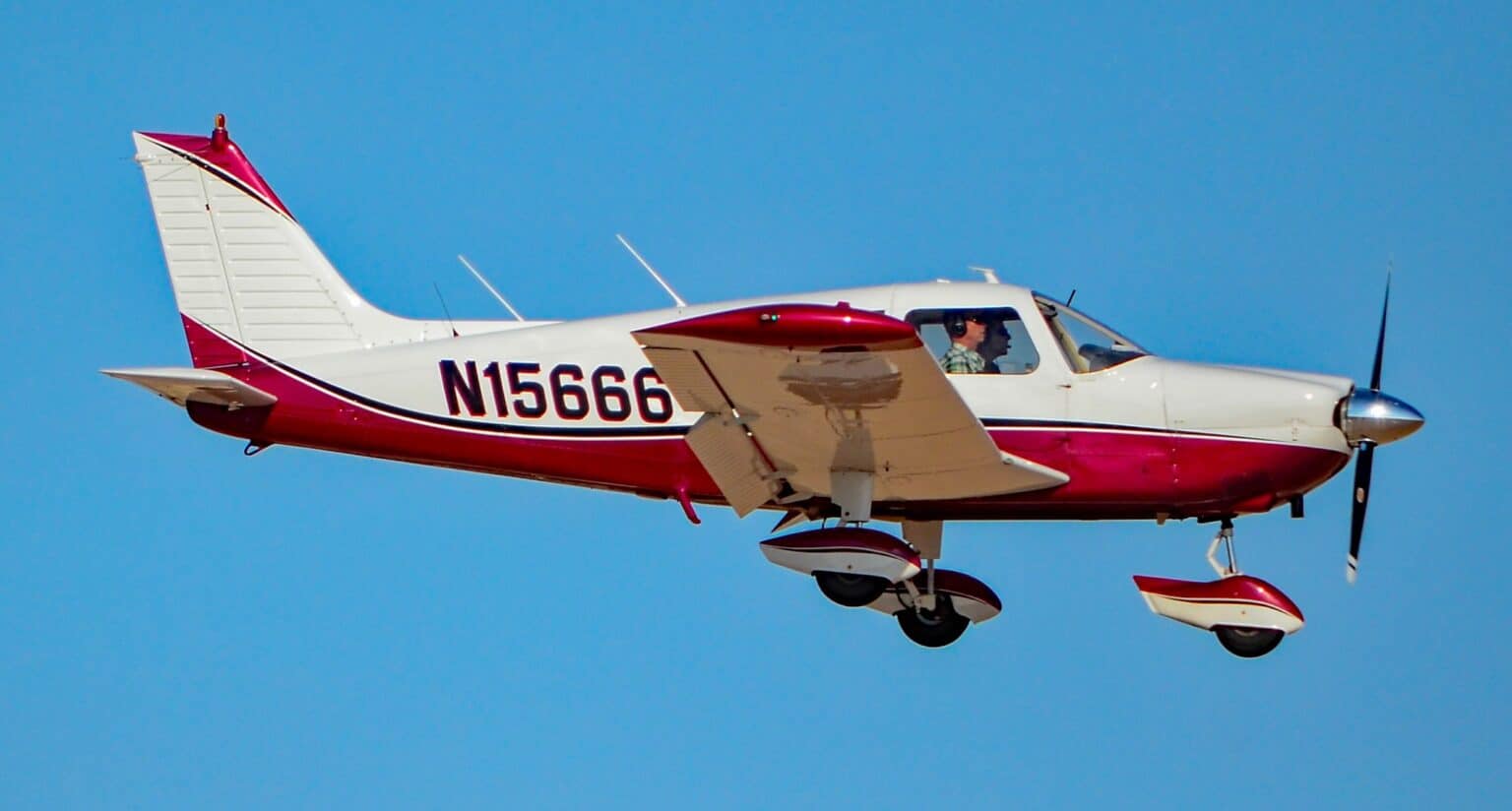
The Piper PA-28-235 that crashed in Gunnison County, Colorado, on October 24, 2026, was N8777W, the NTSB’s preliminary report shows. A witness told investigators it was flying about 100 feet above the ground beneath cloud-covered peaks shortly before the crash, which killed the pilot and two passengers.
The report, case CEN27FA030, sets out the flight’s planning, its ADS-B track, two witness accounts and the weather at the destination airport. It does not give a cause.
What the preliminary report says
The pilot had first planned to fly from Rifle Garfield County Airport to Gunnison-Crested Butte Regional Airport on October 23, a day he knew would be “clear,” the NTSB said. He moved the trip to October 24 because of a personal event with the passengers.
For that day, he wanted to leave “really early in the morning,” when he thought the weather would be clear. The airplane departed Rifle at 7:46 a.m. mountain daylight time with no flight plan and no air traffic control services en route.
ADS-B data showed it heading southeast and passing about 1 nautical mile west of the Anthracite Range, over terrain at roughly 10,000 feet. It then made a left turn of about 270 degrees toward the west over terrain near 9,500 feet, followed by a right turn toward the northwest.
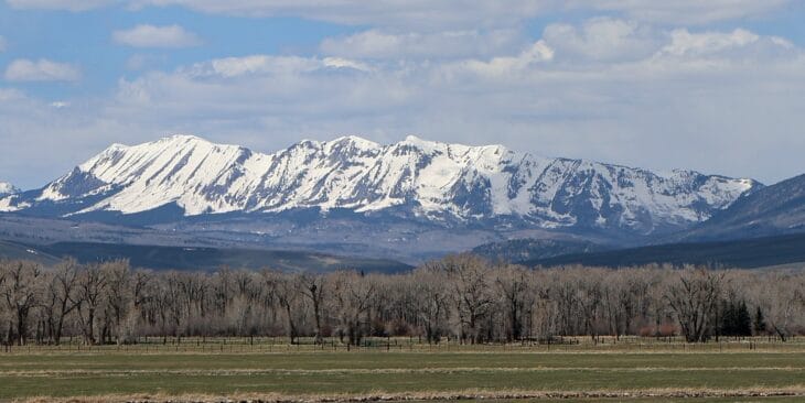

A hunter standing at 9,300 to 9,500 feet told investigators the airplane sounded “really low,” about 100 feet above the ground, and that there “was no way [the airplane] was going to clear the Anthracites.” He said visibility was “not great” and the peaks were covered “pretty good” with clouds, though the clouds did not reach the treetops.
A second witness, several hundred yards from the site, saw the airplane head for a pass that had clouds and a little snow. He said it barely cleared the pass, came out of the clouds within seconds and went “straight down,” with the engine revving, and that it “sounded good” the whole time.
The wreckage lay about 18 nautical miles (33 km) northwest of the Gunnison airport, at an elevation of about 10,400 feet. The NTSB found a path cut through trees, wings separated from the fuselage in a way consistent with hitting trees and terrain, and propeller blades with S-shaped twisting and bending.
The report puts the accident at about 8:22 a.m. Early accounts of the NTSB’s first statement, which we reported on October 24, gave about 8:11 a.m.
How the weather changed that morning
The forecast for Gunnison, issued at 5:20 a.m., called for more than 6 miles of visibility and a 15,000-foot ceiling. It also warned of temporary spells from 7 a.m. to 10 a.m. with light rain showers, 4 miles of visibility and a broken layer 5,000 feet above the airport.
The airport’s observations show the change. The sky was clear at 5:56 a.m. and partly cloudy at 6:56 a.m., but by 7:56 a.m. there was moderate rain and mist, visibility of 6 miles, a broken ceiling 3,200 feet above the field and an overcast layer at 4,400 feet.
With the airport at 7,680 feet, that broken layer sat at roughly 10,900 feet above sea level over Gunnison. The crash site, 18 nautical miles away in higher terrain, was at about 10,400 feet, and the report lists conditions there as unknown.
The pilot held a private pilot certificate for single-engine airplanes, issued in April 2024. He had his most recent flight review in April 2026 and about 278 hours of total flight time, the NTSB said. The FAA registry lists N8777W as a 1964 Piper PA-28-235 registered to a company in New Castle.
Why valley weather can mislead in the mountains
The FAA’s mountain flying pamphlet, produced with input from the Denver Flight Standards District Office and the Colorado Pilots Association, suggests a ceiling of at least 2,000 feet over the highest pass a pilot plans to cross. That leaves room to cross 1,000 feet above the pass and still stay 1,000 feet below the clouds.
The problem, the pamphlet says, is that mountain weather stations are few and sit almost entirely in valleys. A valley airport may need a reported ceiling of 8,000 feet or more to give a 2,000-foot ceiling at the passes.
It also addresses weather that worsens en route. “The urge to continue is very strong,” it says, and continuing “is often the worst thing you can do.” It advises diverting or turning back before entering poor weather, and even a controlled off-airport landing over “crashing into terrain that you can’t see.”
Preliminary, not a finding
The NTSB’s preliminary report is factual information gathered early in the investigation and is subject to change. It names no cause, and nothing in it says the weather caused the crash. The probable cause comes in the final report.
What comes next
The NTSB retained the wreckage for further examination. The FAA, Piper Aircraft and engine maker Lycoming are parties to the investigation, which is led by investigator Mitchell Gallo.
The NTSB says it aims to finish an investigation within 12 to 24 months, when the final report gives the probable cause. The report does not name the pilot; the Gunnison County Coroner’s Office earlier identified the three victims as Mark Hendrickson, 46, Alan Hendrickson, 15, and Case Hendrickson, 13, all of New Castle.
Sources and references used for research and fact-checking.
Get the Newsletter
The latest aviation news and stories sent to your inbox.
About the Author

AeroCorner News is the aviation news desk of AeroCorner.com. It covers accidents and incidents, safety rulings, airline and airport disruption, and new aircraft. It works from primary sources such as the NTSB, FAA, EASA and the manufacturers' own announcements.